 Kayaker

|


|
Download printer-friendly
PDF version that fits in one page: |

|
|
Other resources:
LakeLubbers: Webster Lake Webster Lake Association The Andrew Project: Kayaking Webster Lake All photos in this website are original and copyrighted. 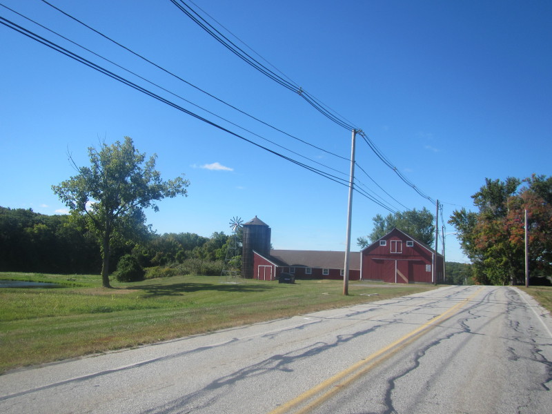 On my way to Webster MA.
Trip date is September 2014. 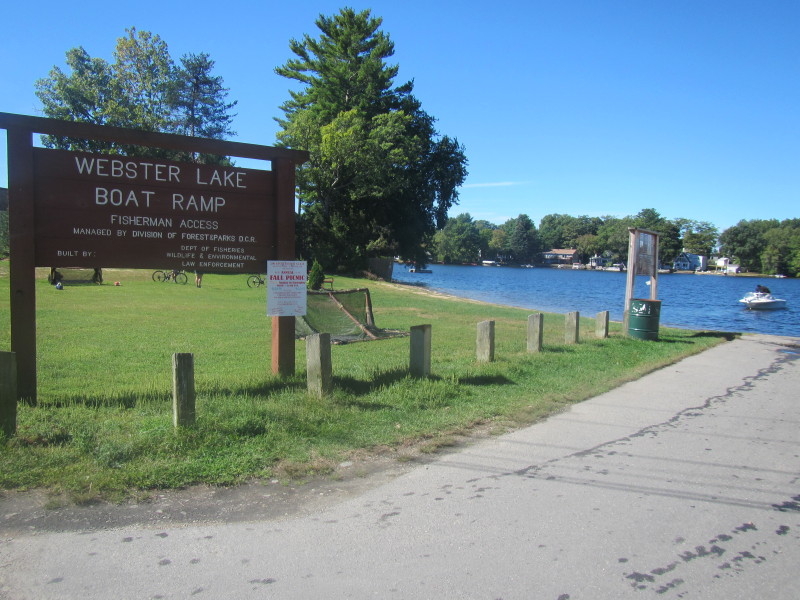 On Webster Lake state boat ramp on Lakeside Avenue in Webster MA.
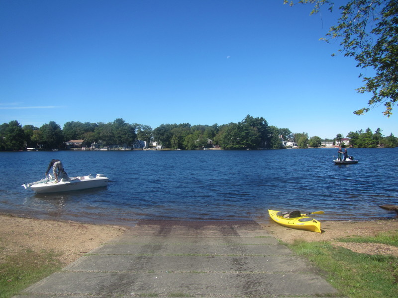
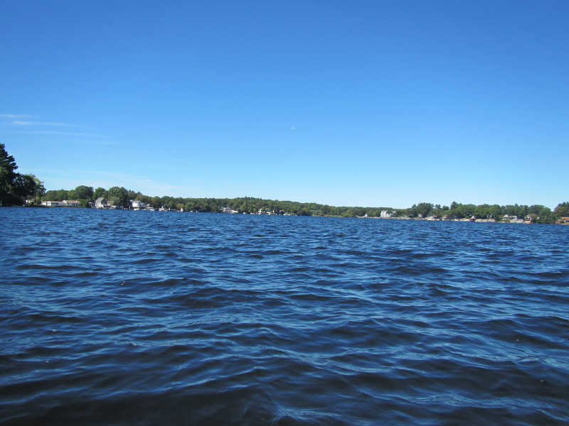
 The Boston Kayaker just launched on Webster Lake.
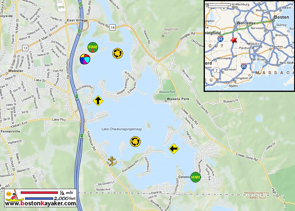
From the map, the lake has 3 sections and I am launching from the south/bottom section. 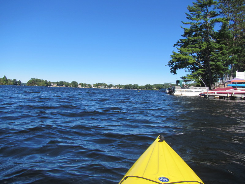 From the ramp, I veered to the right.
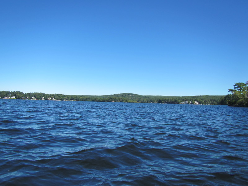
 Somewhere straight ahead is the narrow channel from the south section to the middle section.
 With the size and shape of Webster Lake, I will not follow my usual practice of hugging the coast lines
and instead will paddle straight in the middle thru the channels.
With the size and shape of Webster Lake, I will not follow my usual practice of hugging the coast lines
and instead will paddle straight in the middle thru the channels.
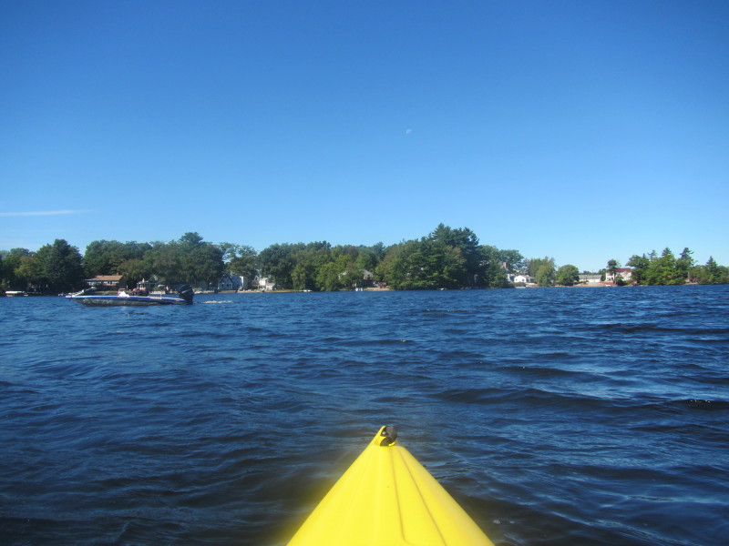
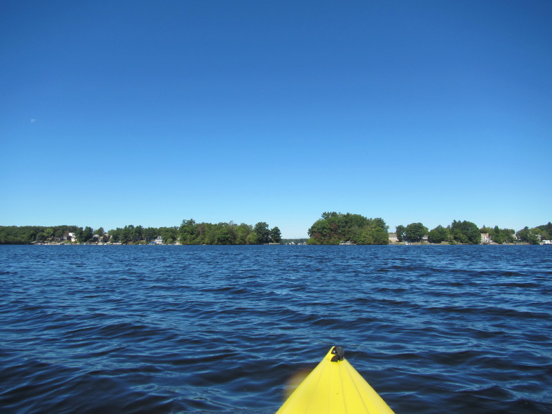
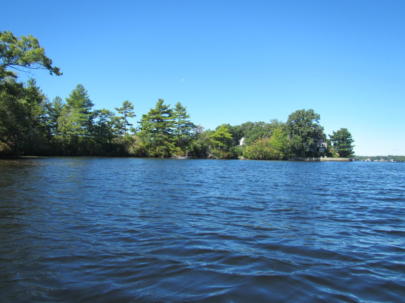
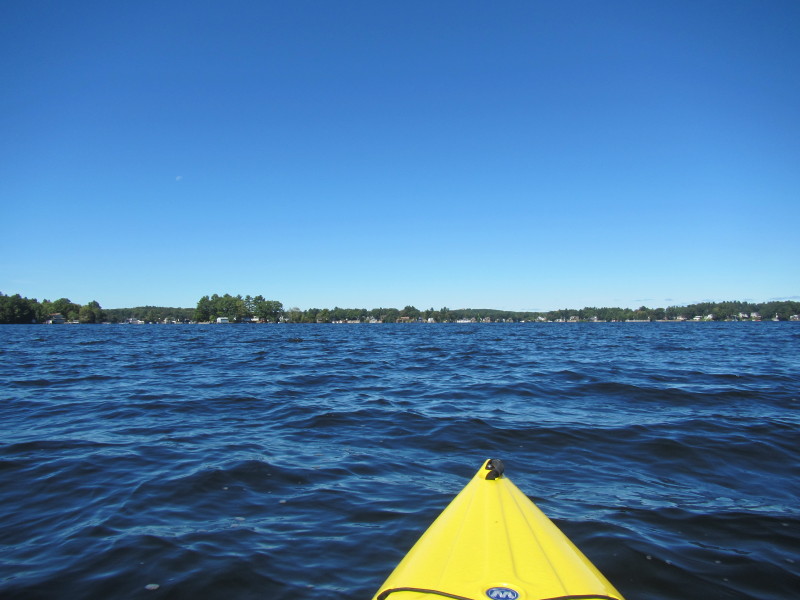
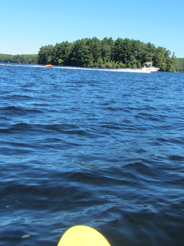
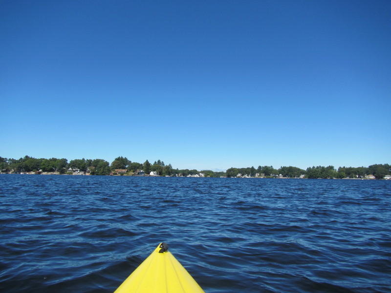
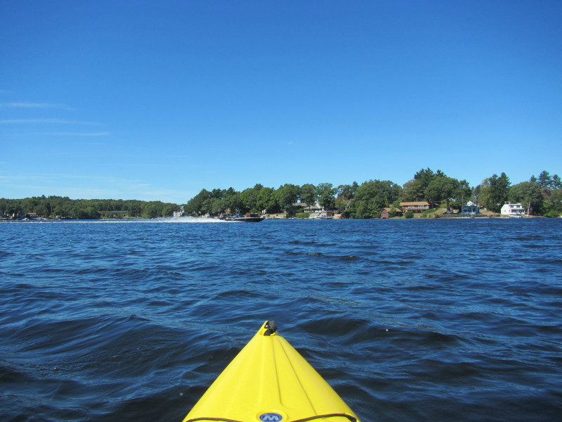
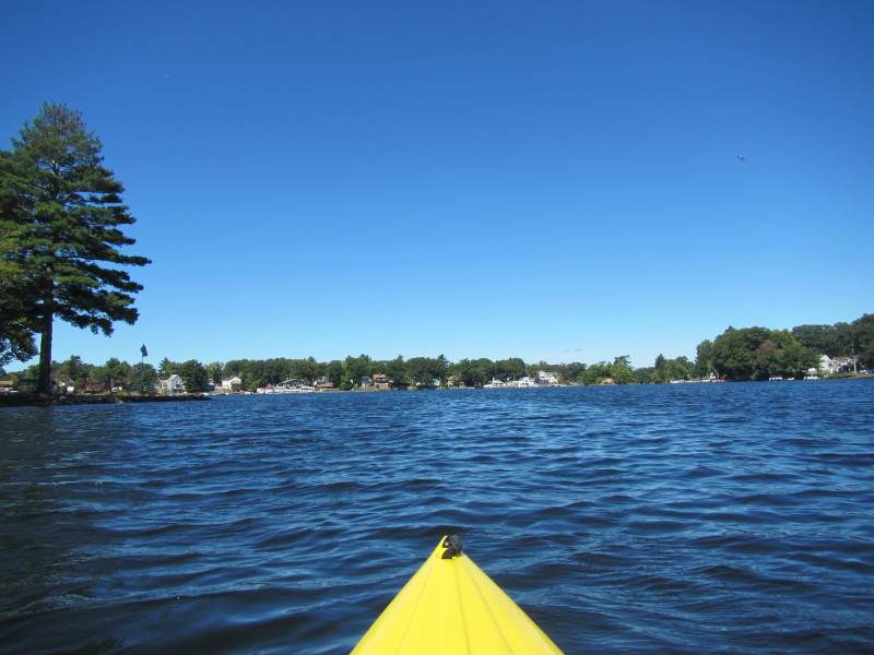
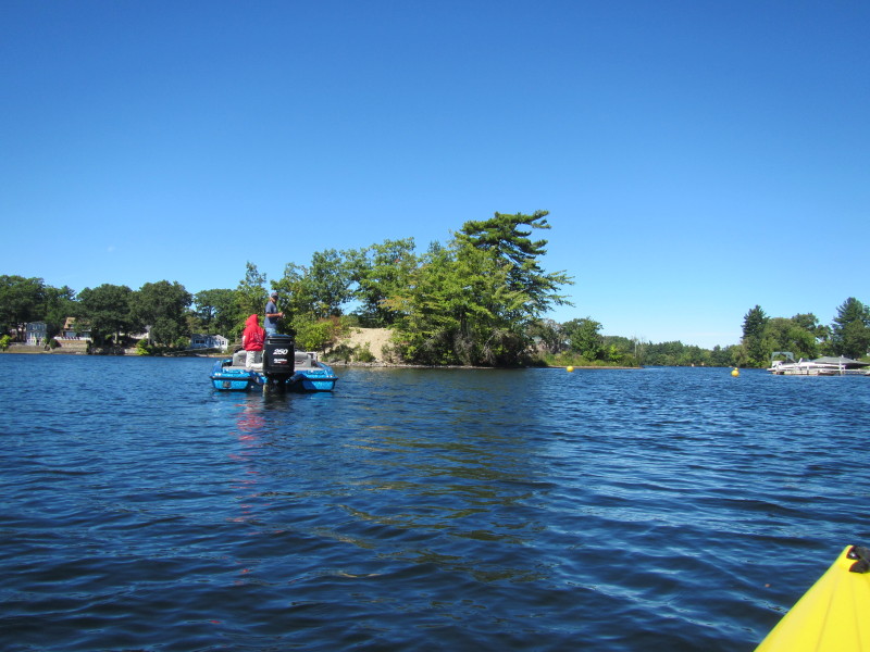
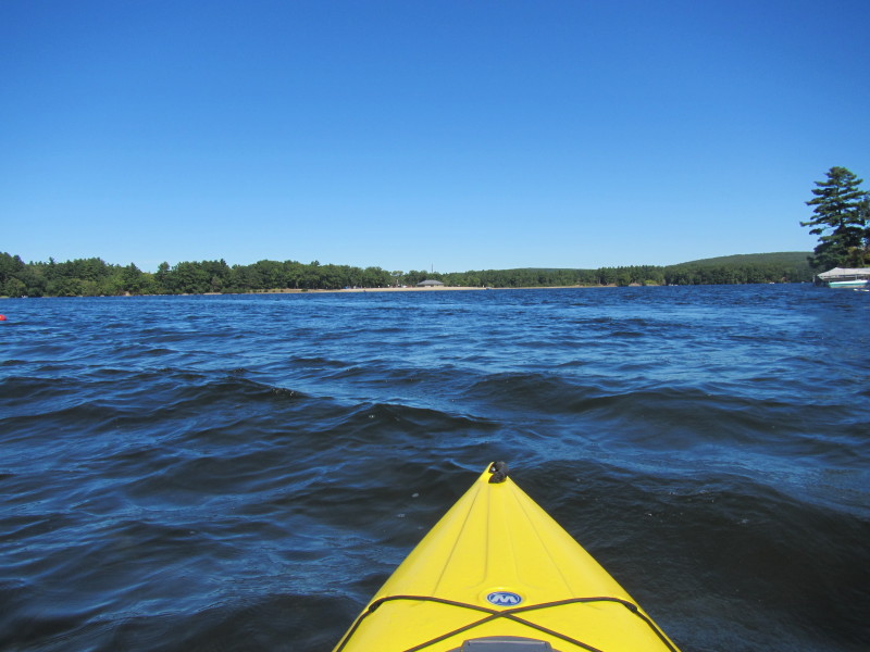
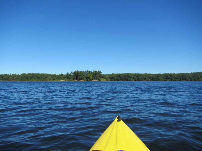
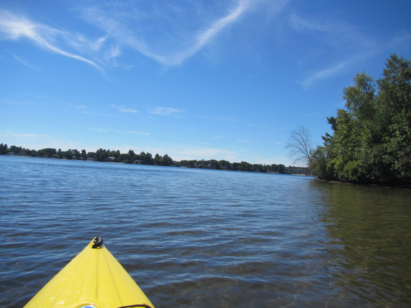
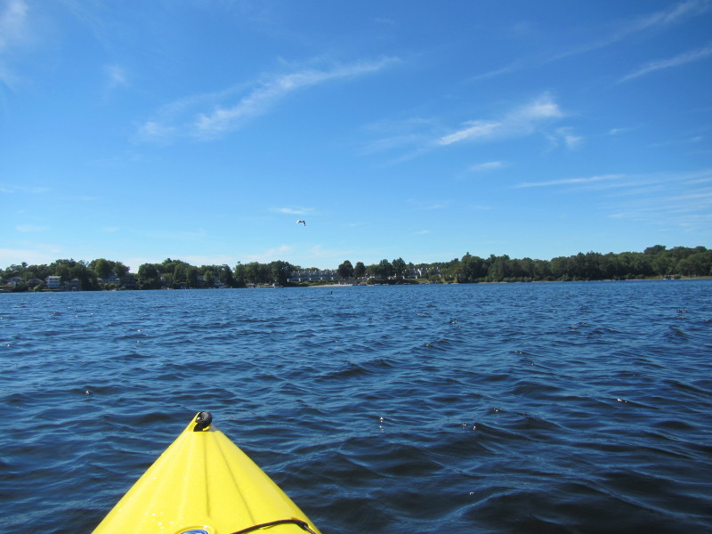
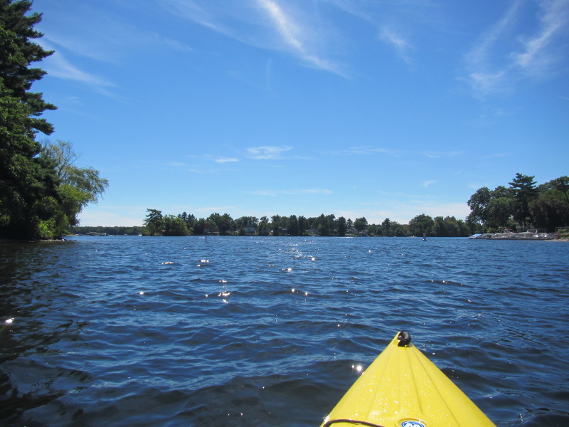
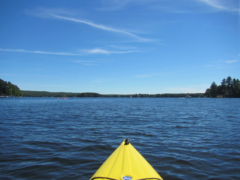
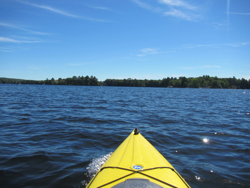
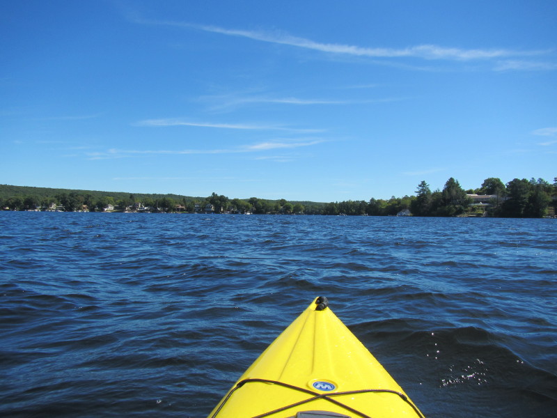
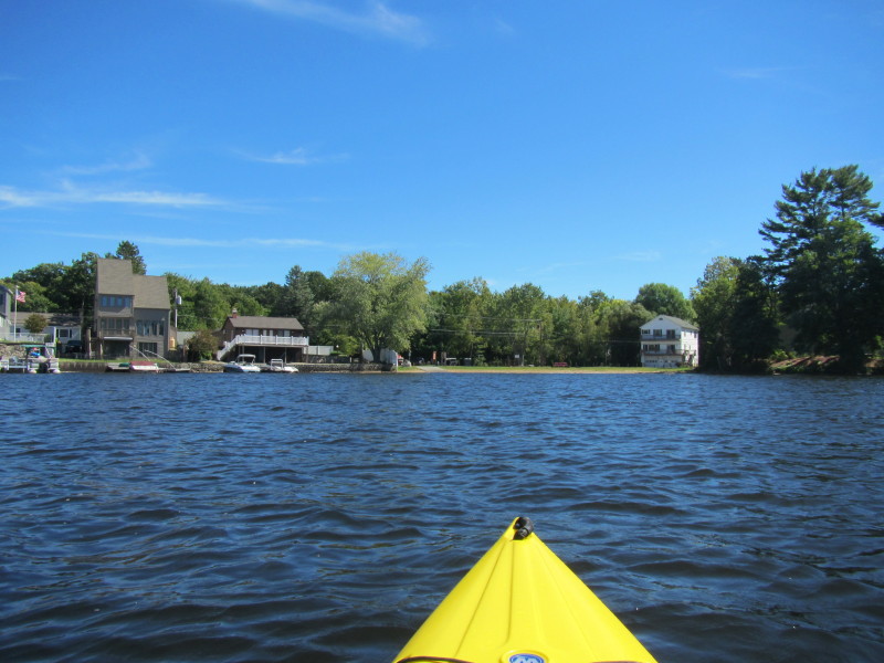
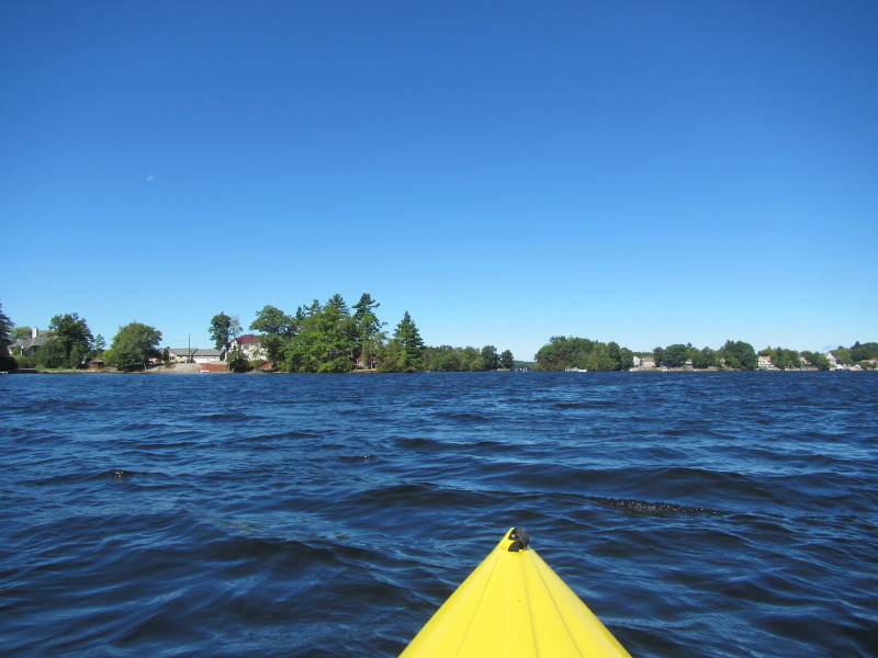 I suspect that gap (where the kayak is pointing) is the channel . . .
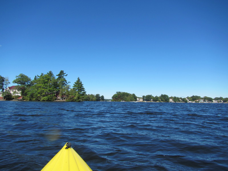
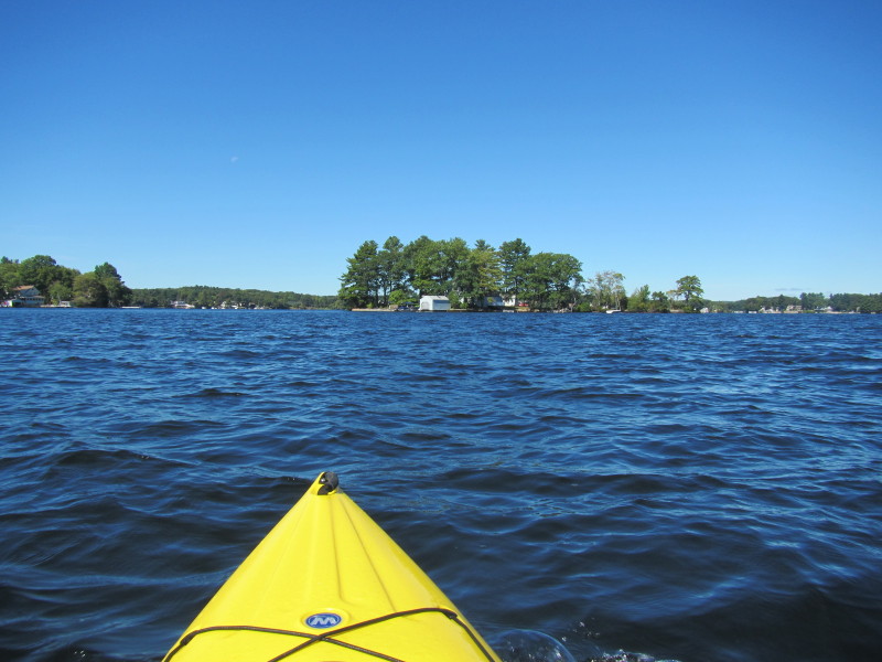
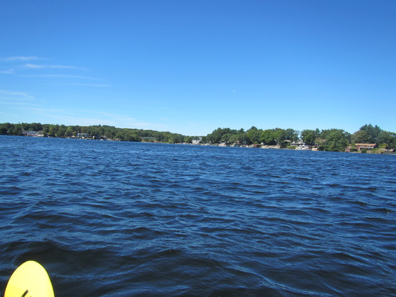
 On the left half of the picture is a peninsula.
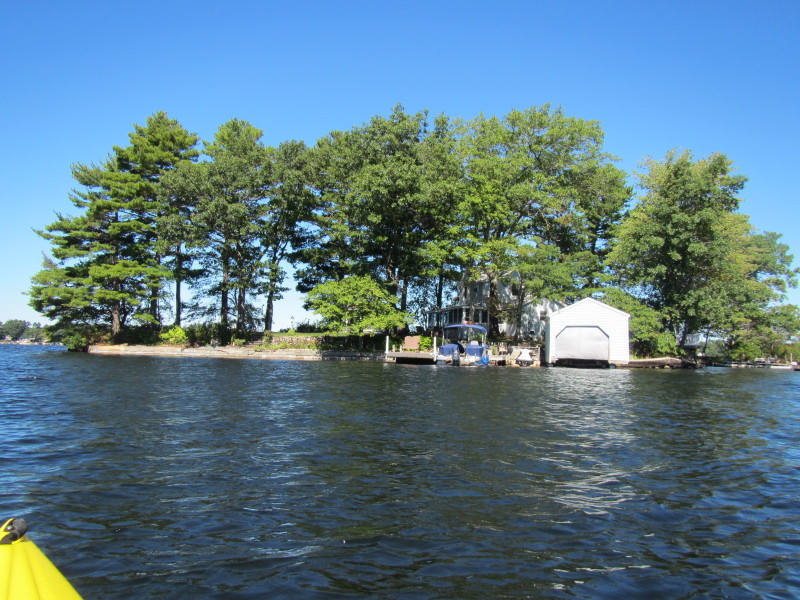
 Rounding the peninsula.
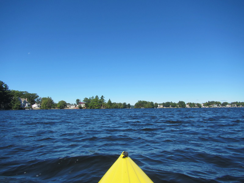
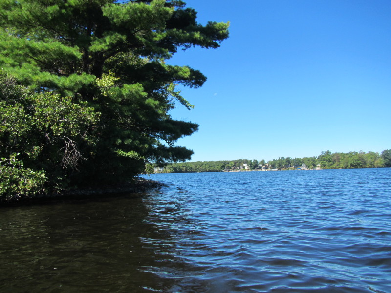
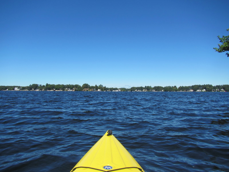
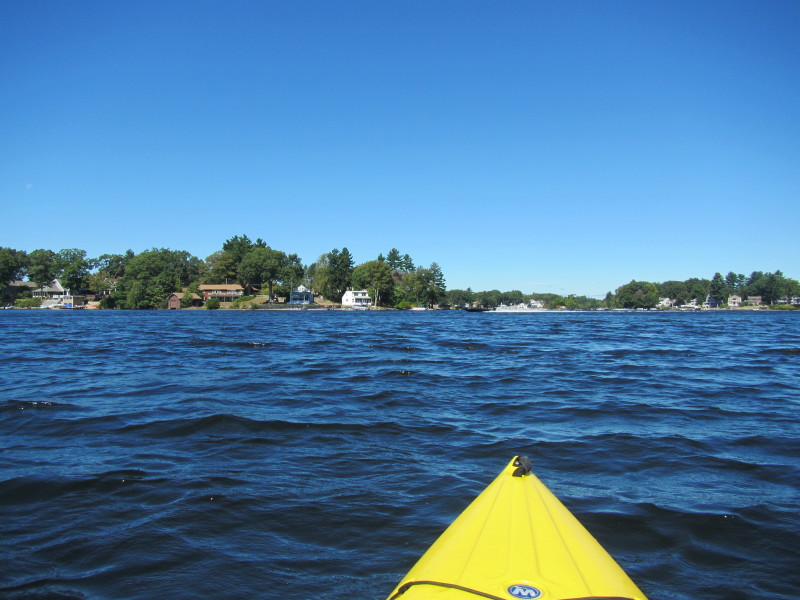
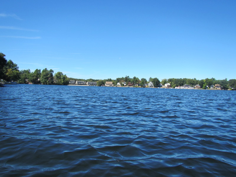
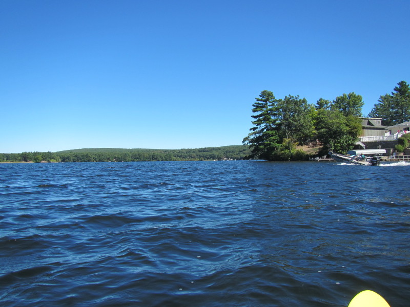
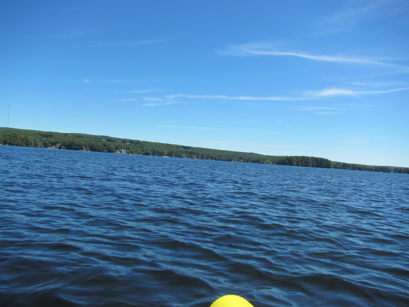
 Past the peninsula, looking to my left is the western shore of the south section of Webster Lake.
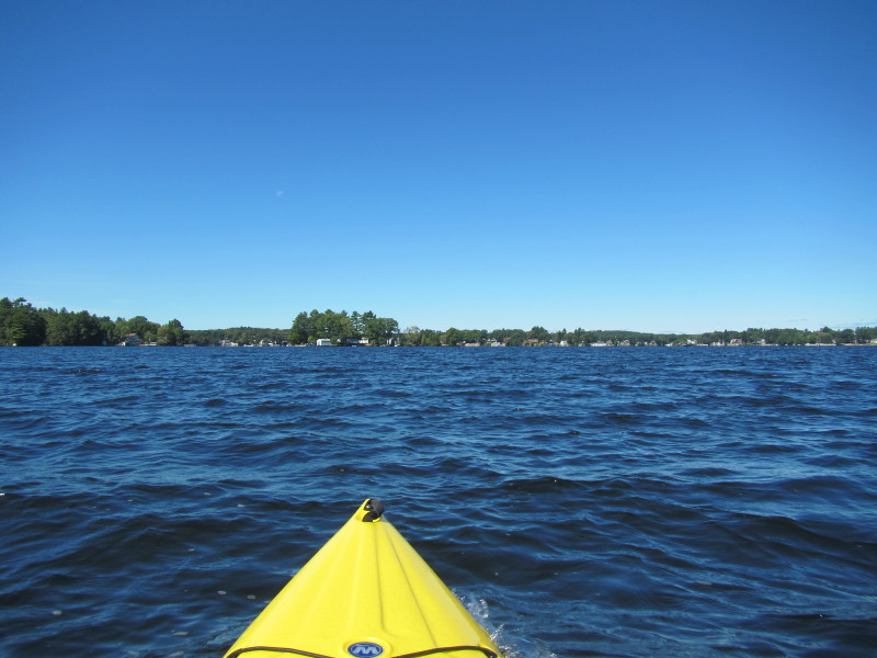
 Paddling in the direction of the channel.
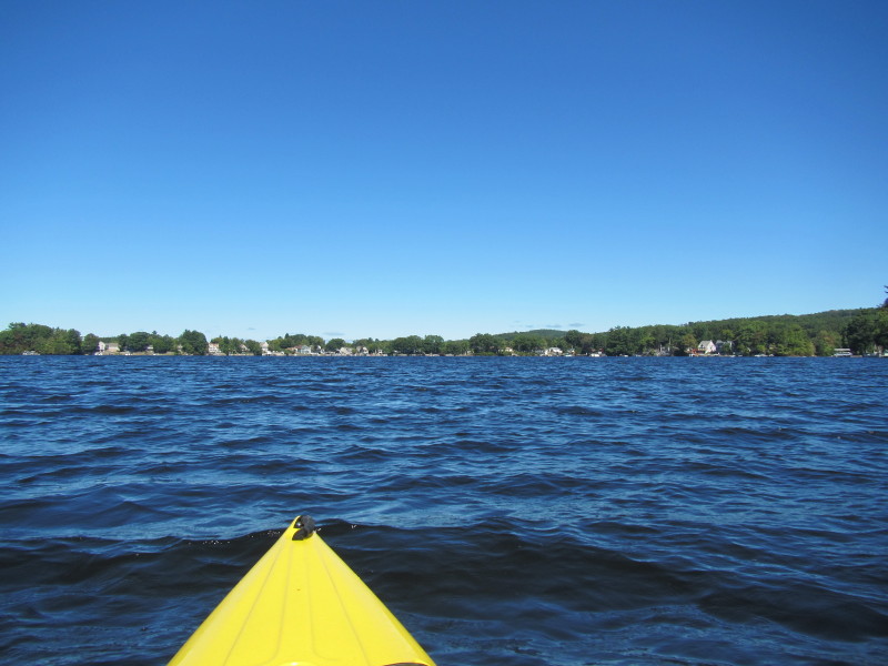
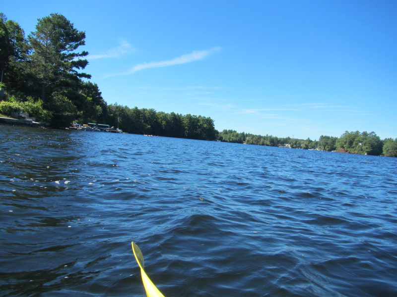
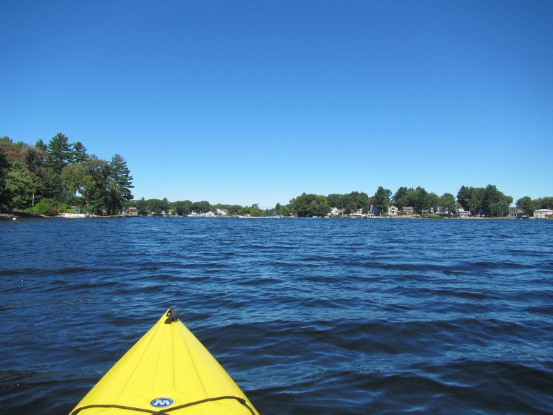
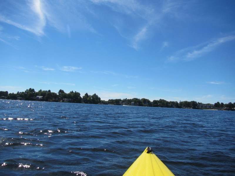
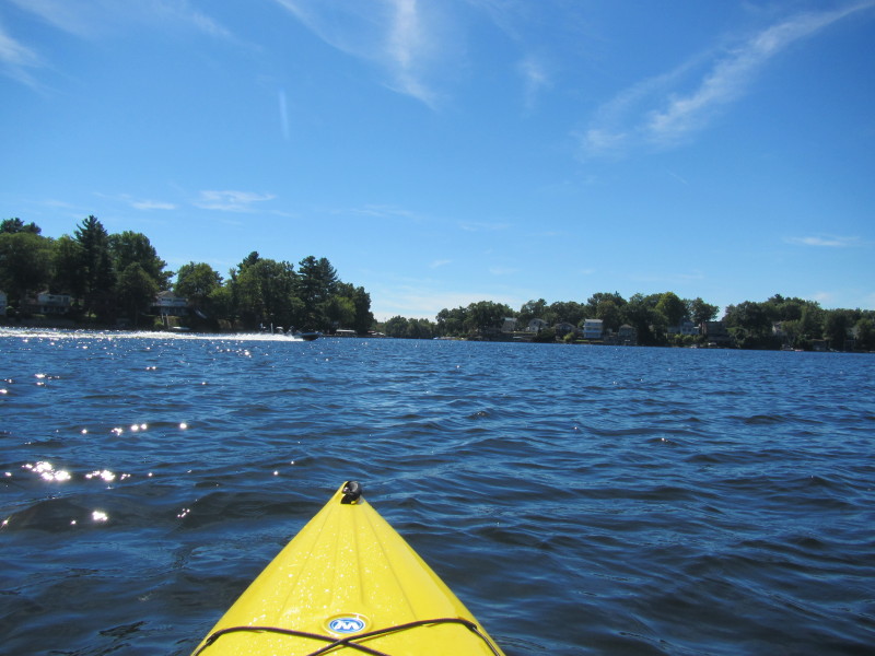
 Looking to my right, the eastern shore of the south section of Webster Lake.
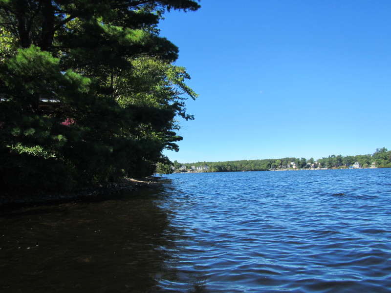
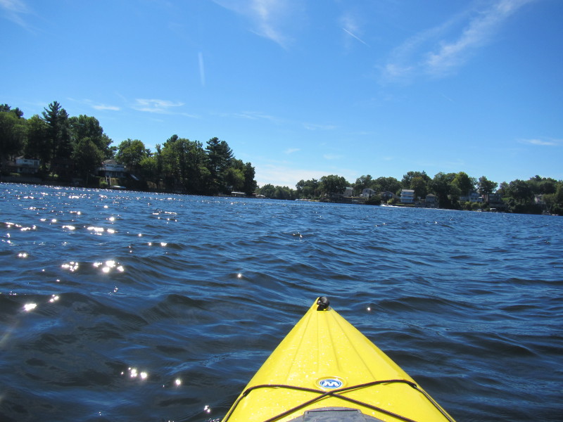
 Looking to my left.
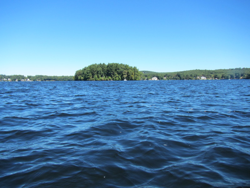
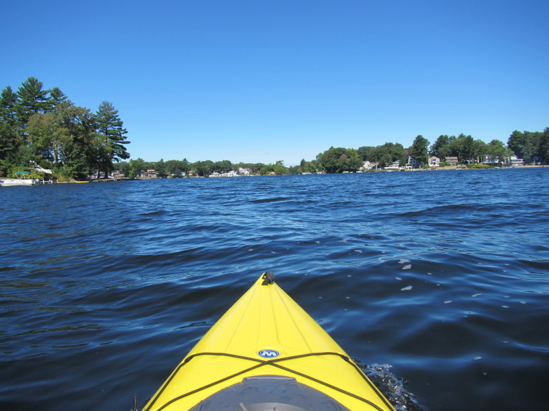
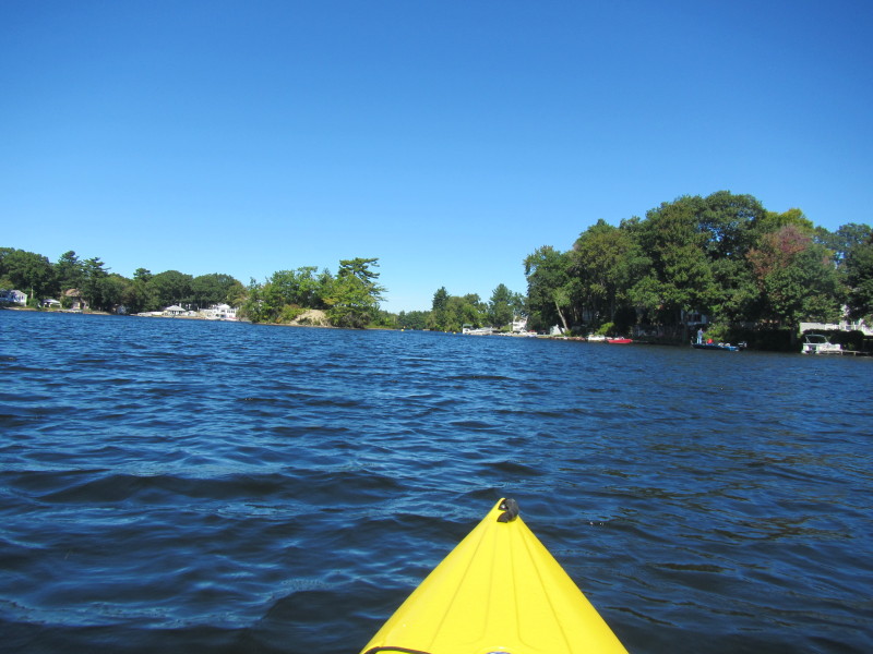
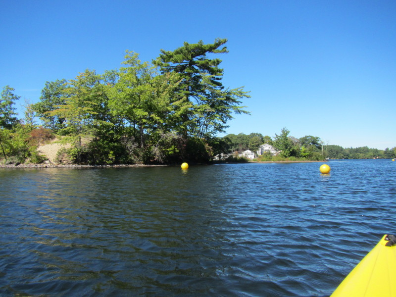
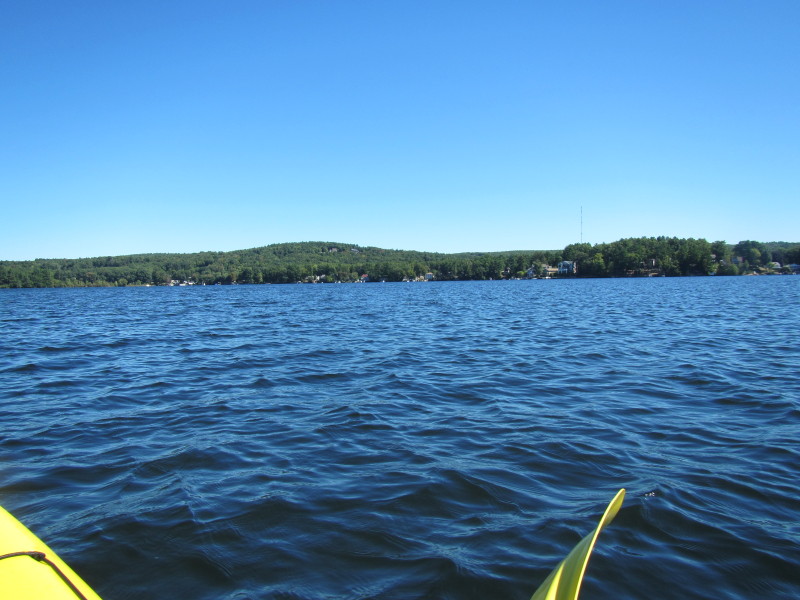
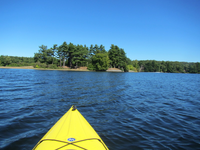
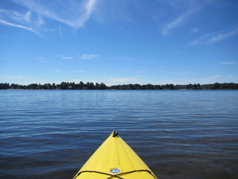
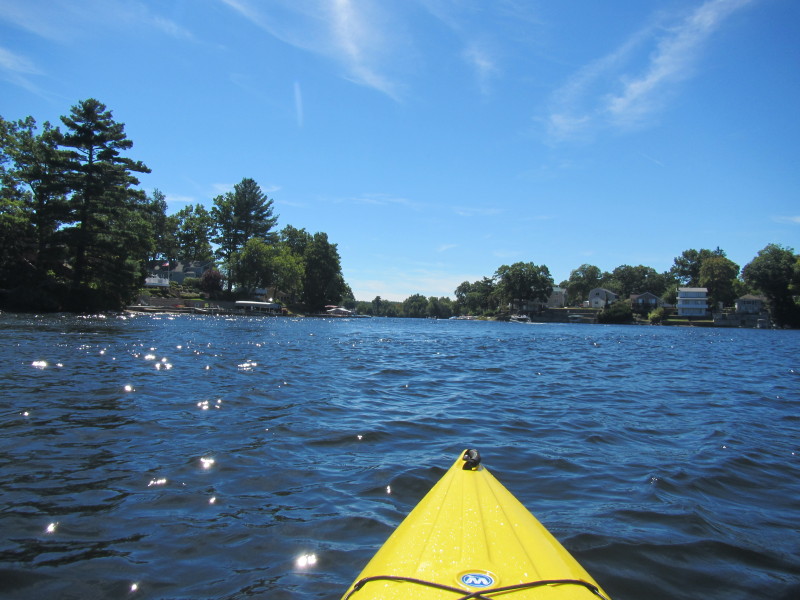
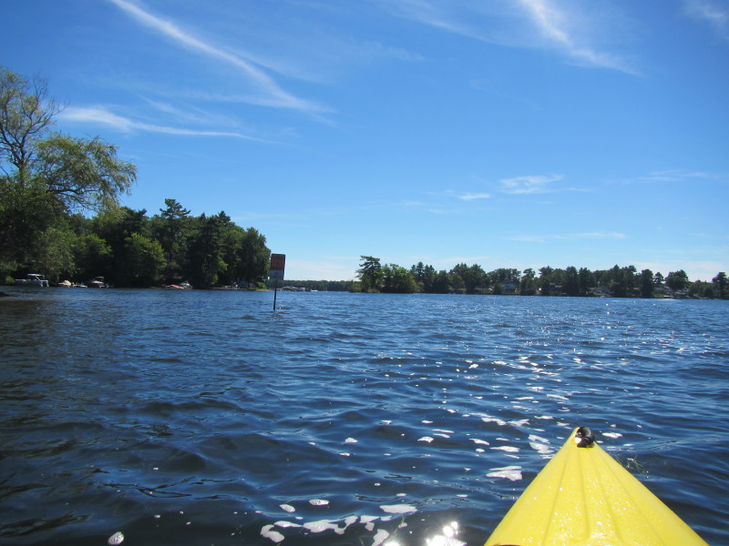
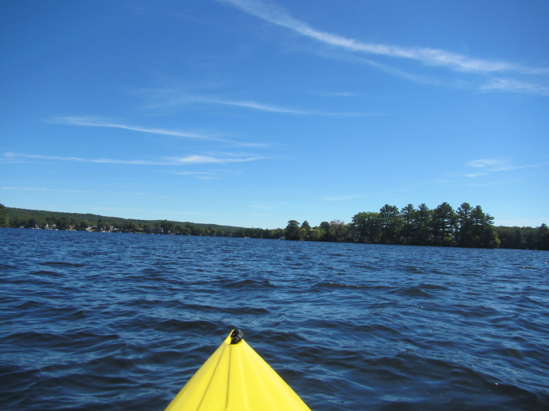
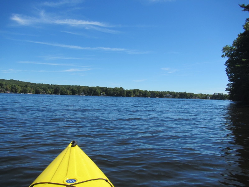
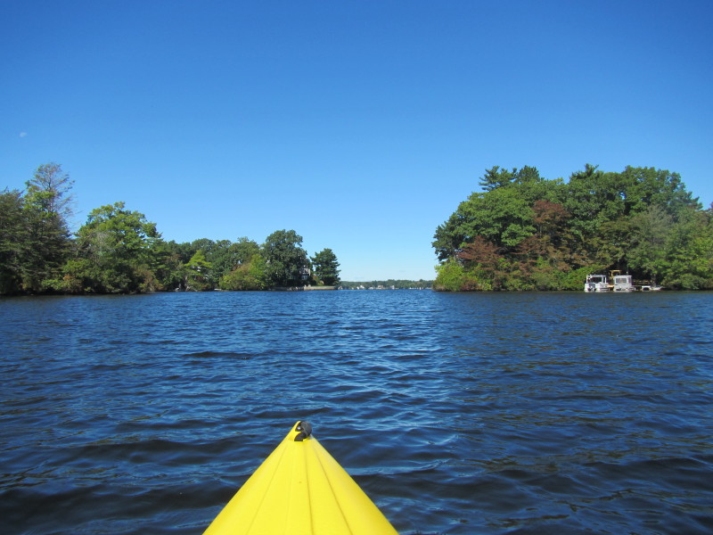 The channel to the middle section is now clearly visible.
 Paddling thru the channel right now.
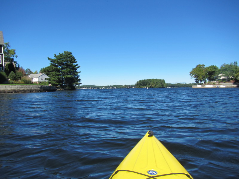
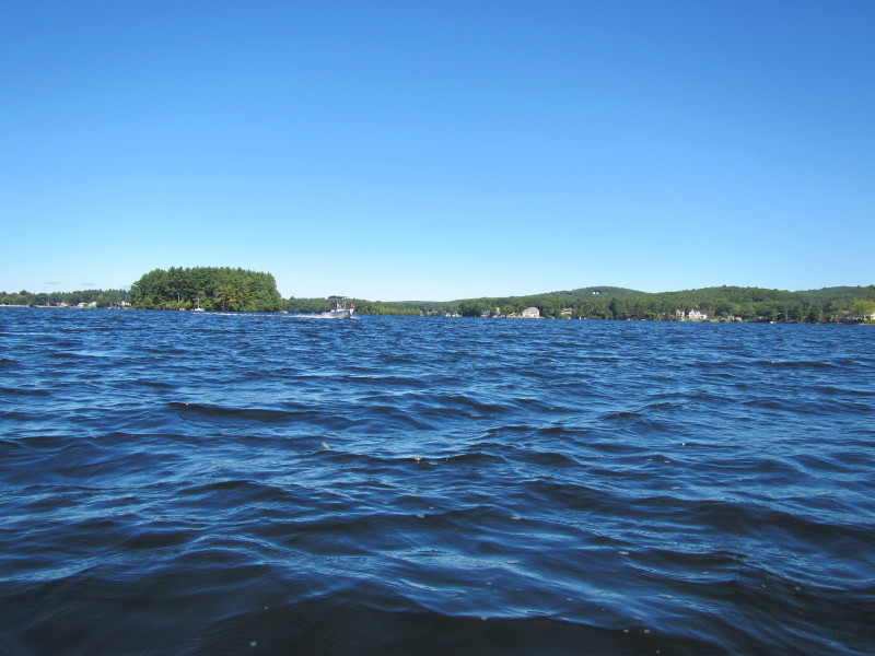
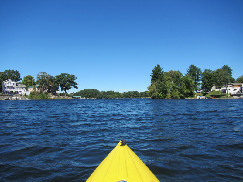
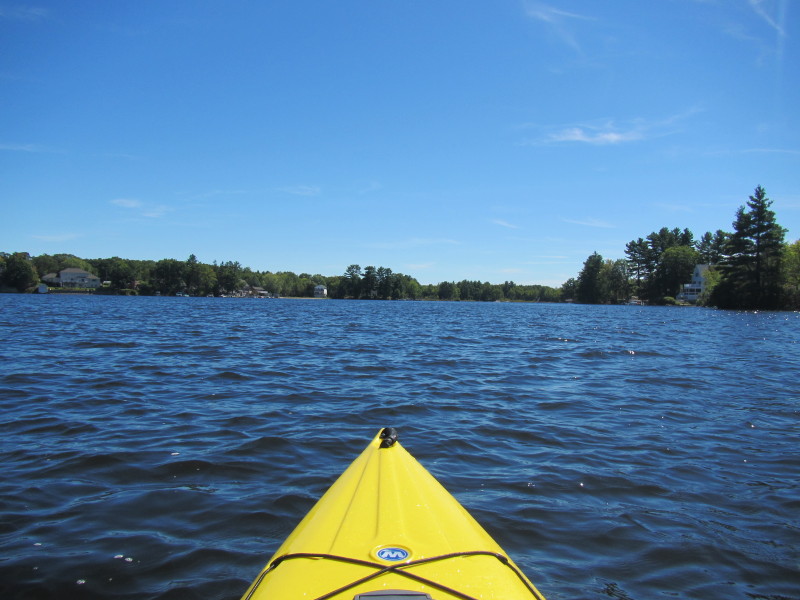
 Now in the middle section of Webster Lake.
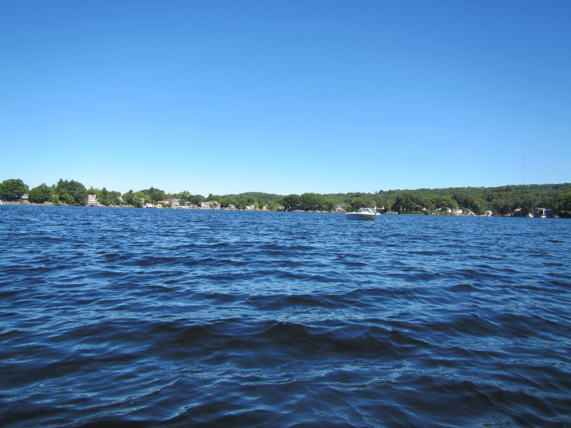
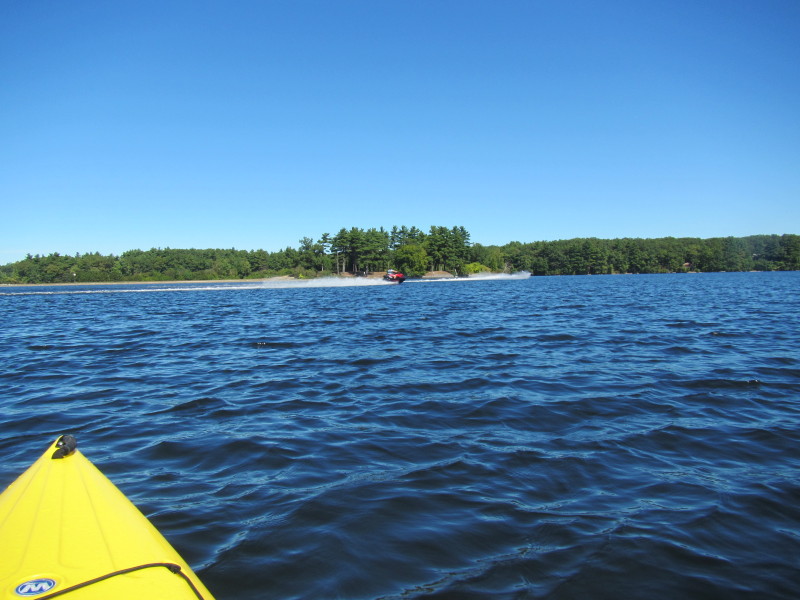
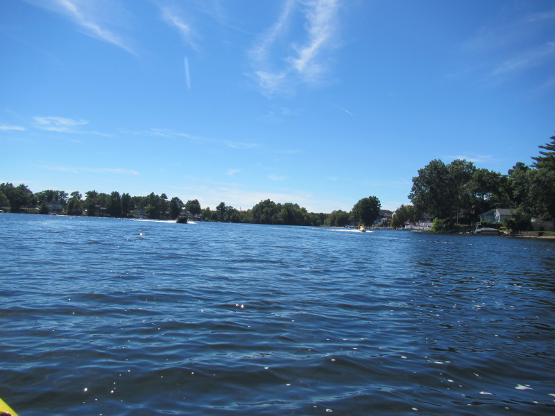
 Webster Lake is busy with powered boats and jet skis.
 After looking at my map, I will keep close to the shore on my left to find the next channel to the north section.
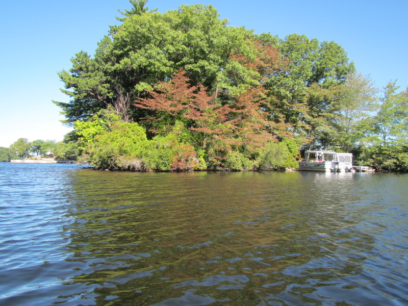
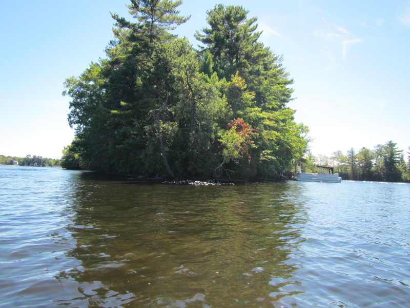
 No man is an island, except for these residents.
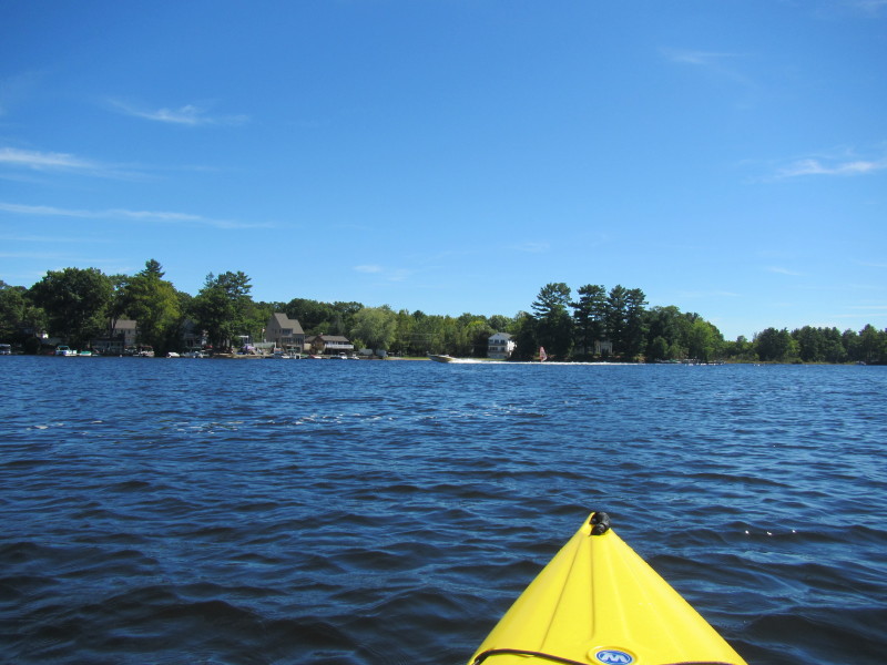
 Looking to my right, the eastern shore of the Webster Lake's middle section.
 Looking to my left, the western shore of the Webster Lake's middle section.
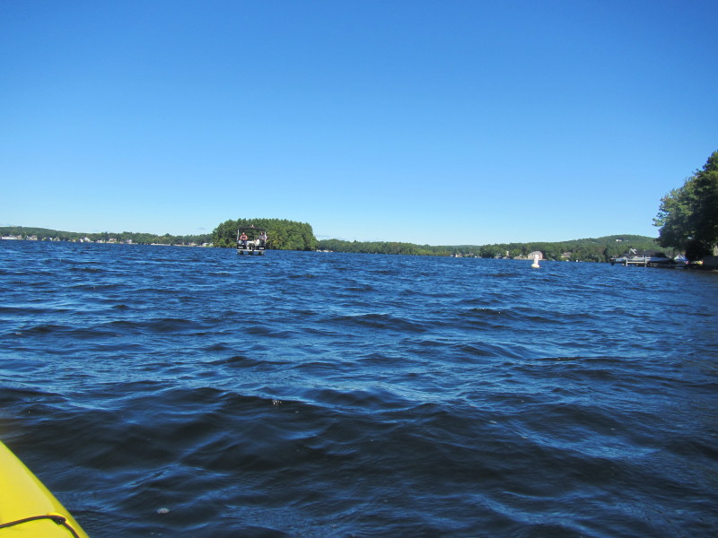
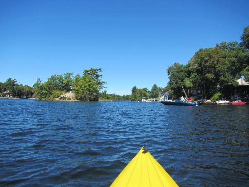
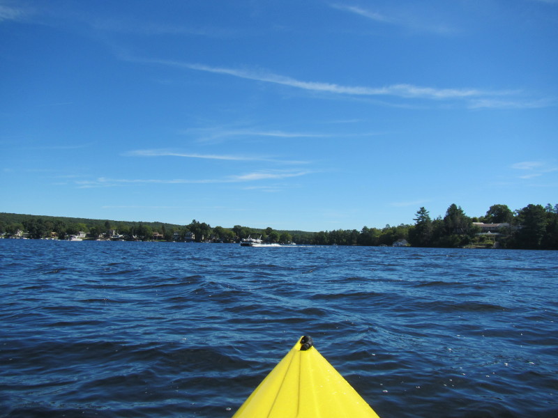
 These boats I use as beacons to the channel.

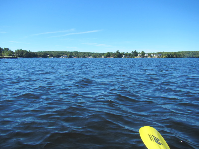
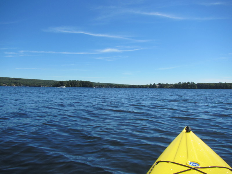
 I can now see the channel to the north section.
 Just entered the north section of Webster Lake.
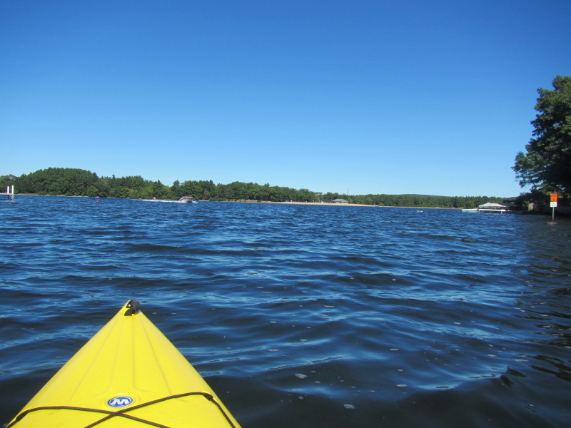
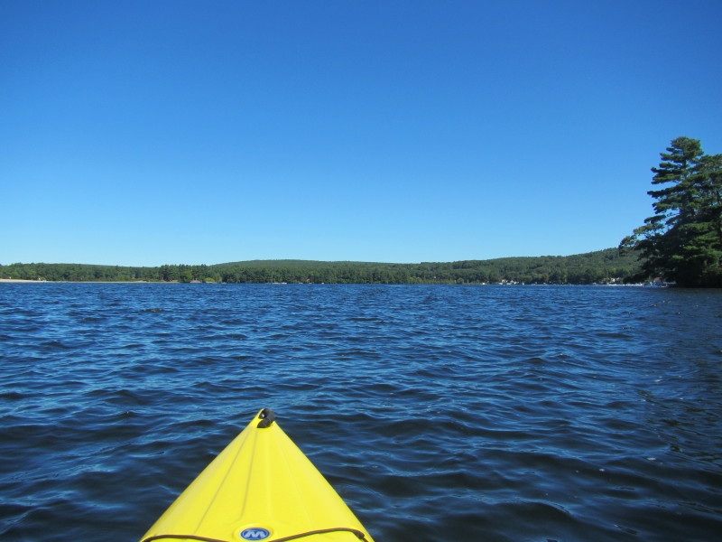
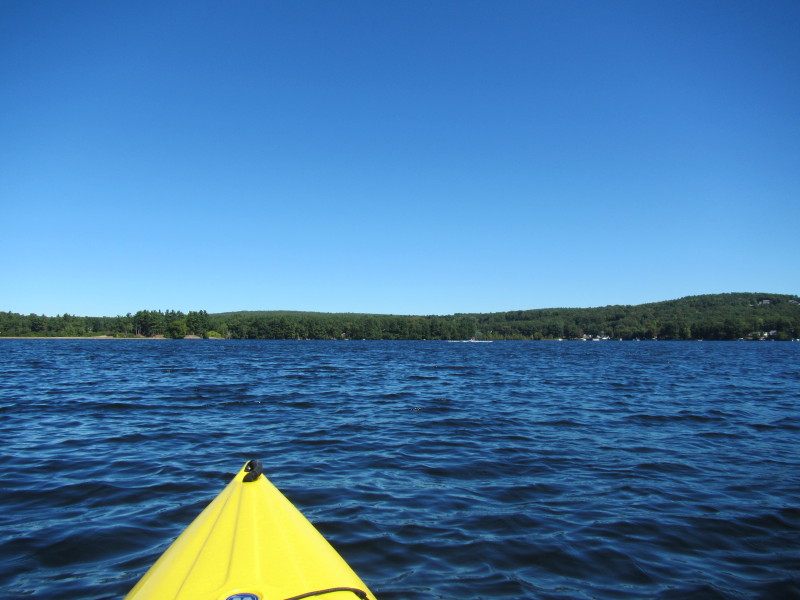
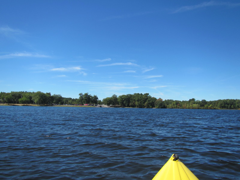
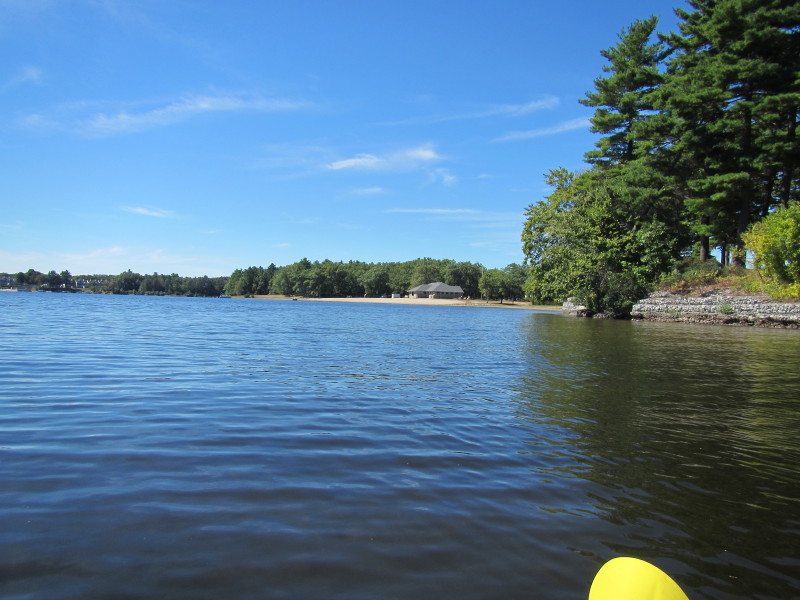
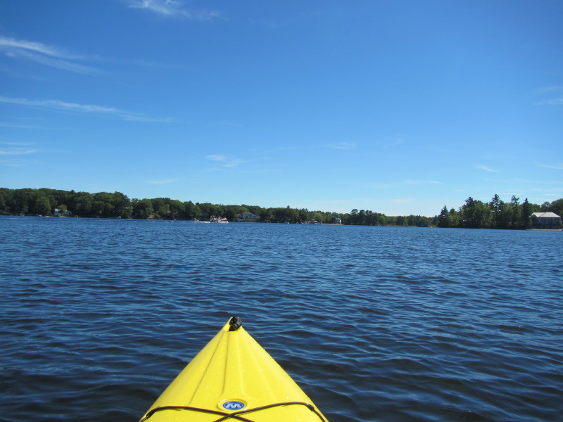
 Straight ahead is the Memorial Beach.
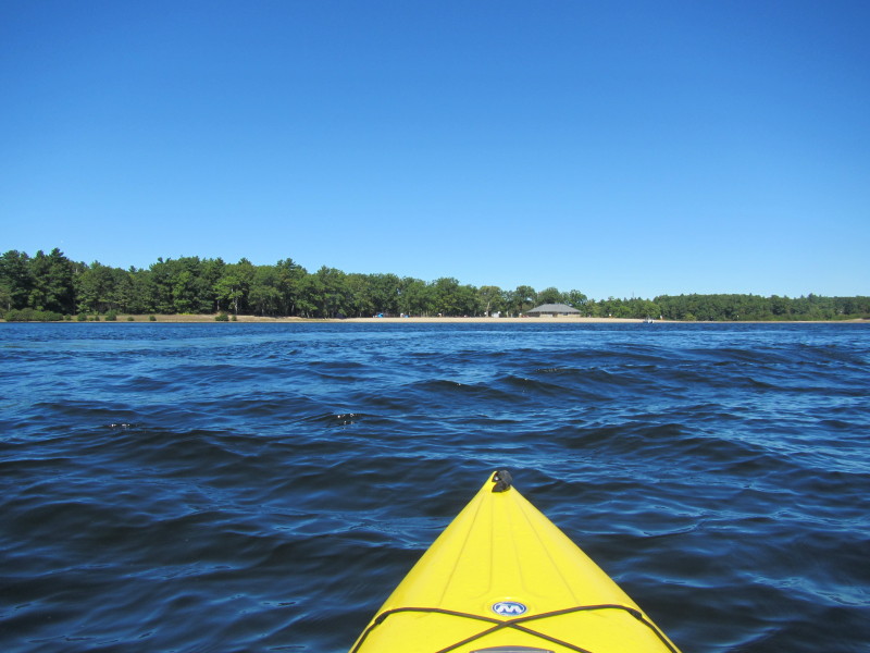
 Approaching Memorial Beach.
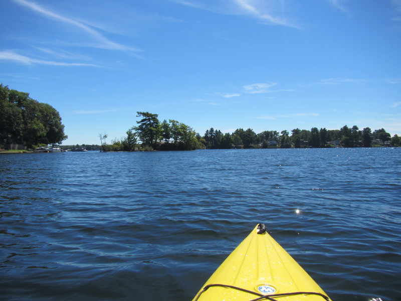
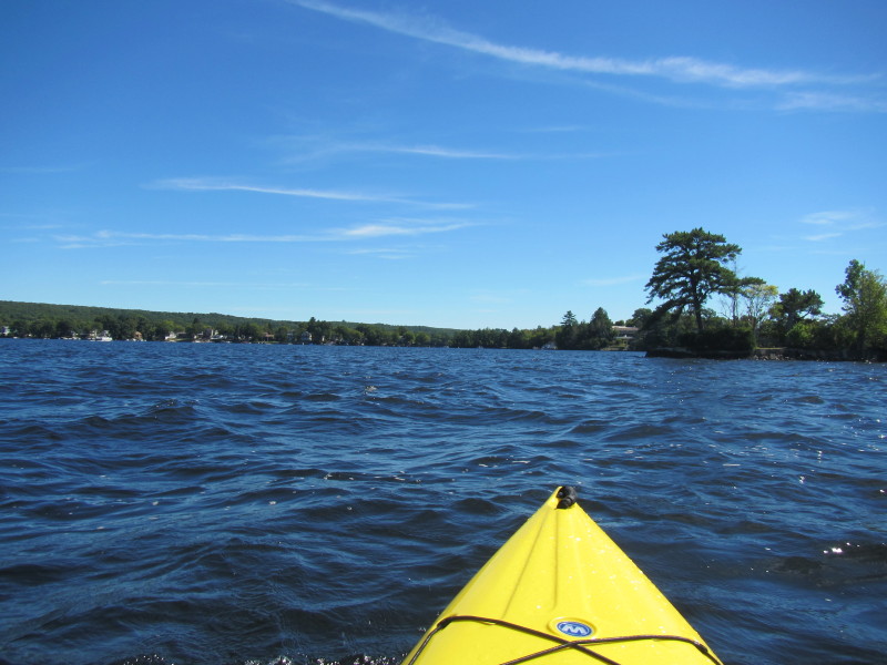
 Veering to the right, will approach that peninsula.
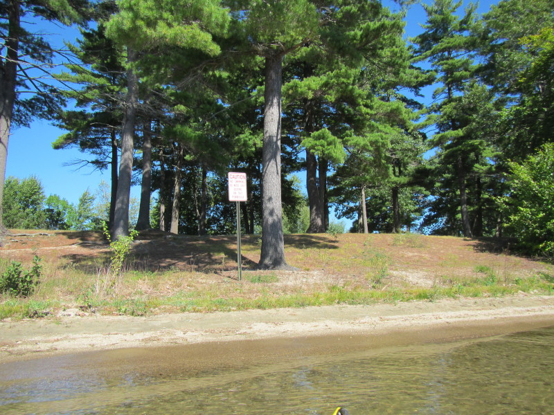 Sign warns people not to land "watercraft".
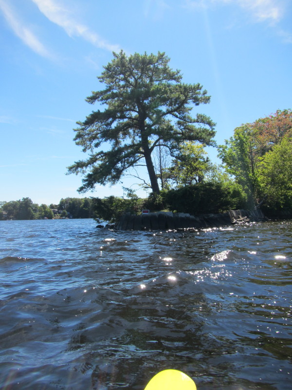
Not sure if kayaks are "watercraft" in this context . . . ? 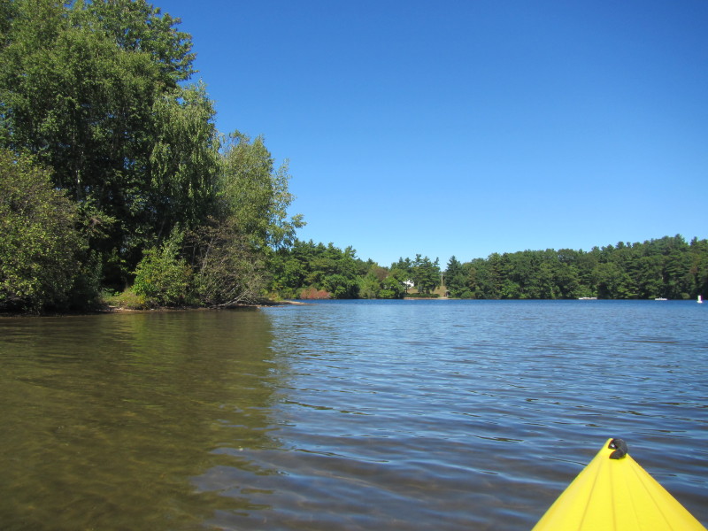 Paddled past the peninsula.
 The northern end of Webster Lake.
 The alternate put in spot at Memorial Beach Drive.
Decided this is as far north as I will paddle. 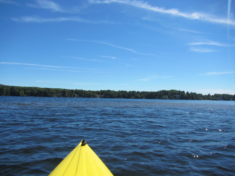 Just turned around and starting my return paddle.
 After rounding the peninsula, Memorial Beach is on my right.
 Approaching the north-to-middle-section channel.
 Passing thru the channel to middle section of Webster Lake.
 Just entered the middle section of Webster Lake.
 Two kayakers on Webster Lake's middle section.
 Looking to my left is the middle section's eastern shore.
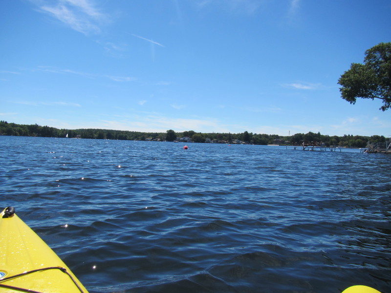
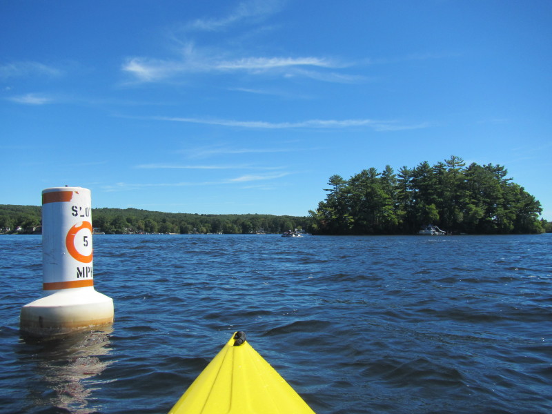
 Approaching the channel to the south/bottom section.
 At the channel to the south section.
 Just entered the south section of Webster Lake.
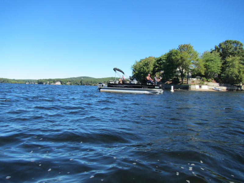
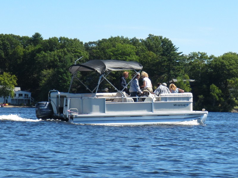
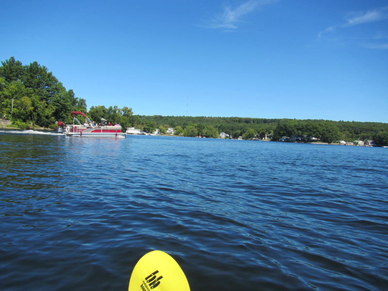 A pontoon boat on Webster Lake.
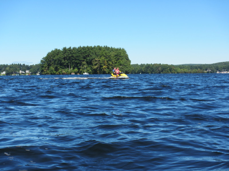
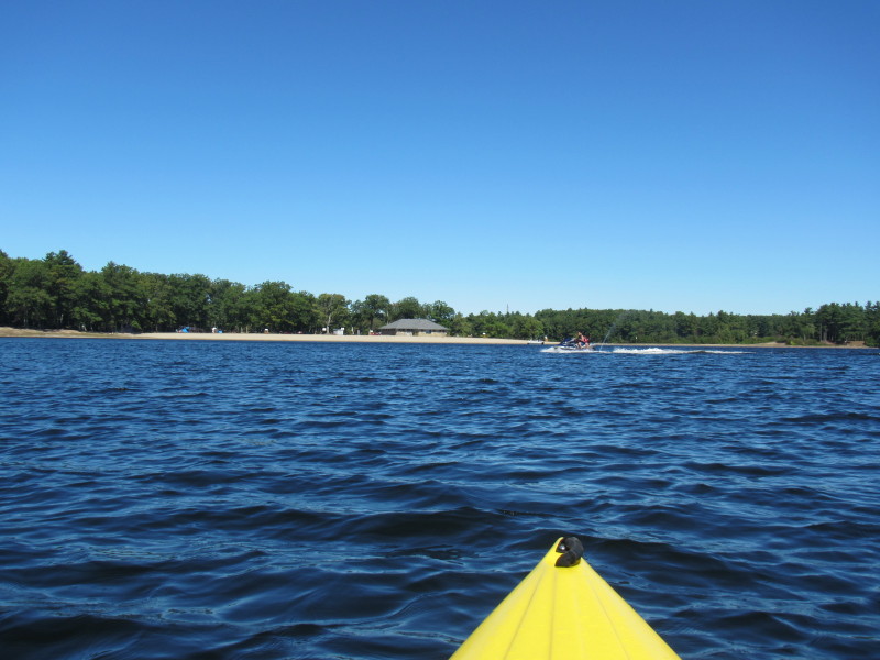
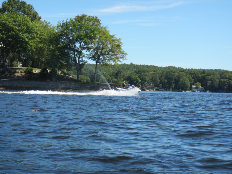
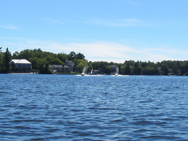 A pair of jet-skiers on Webster Lake.
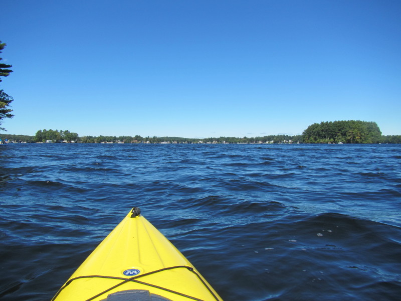
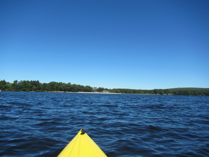
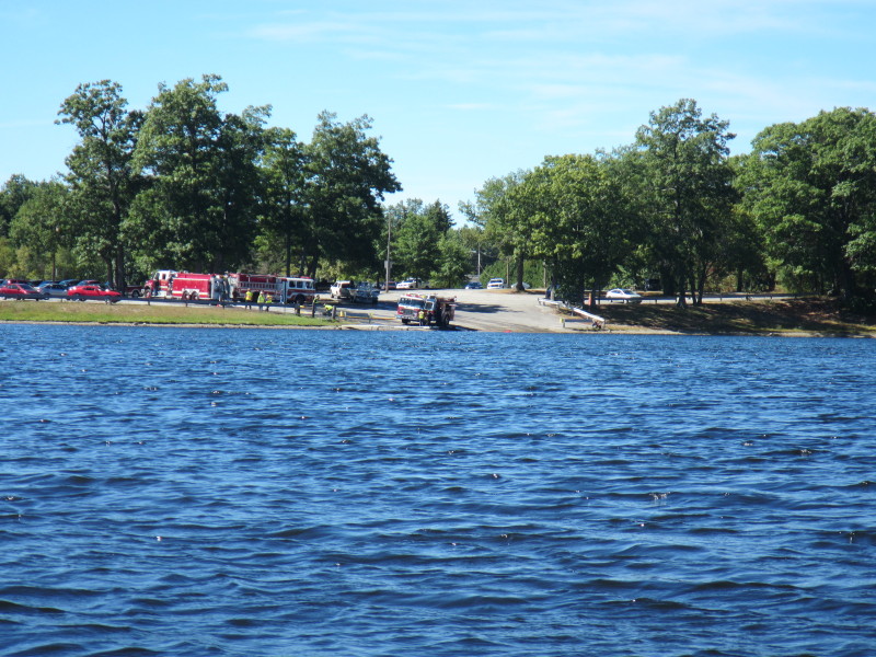
 I can see the boat ramp straight ahead.
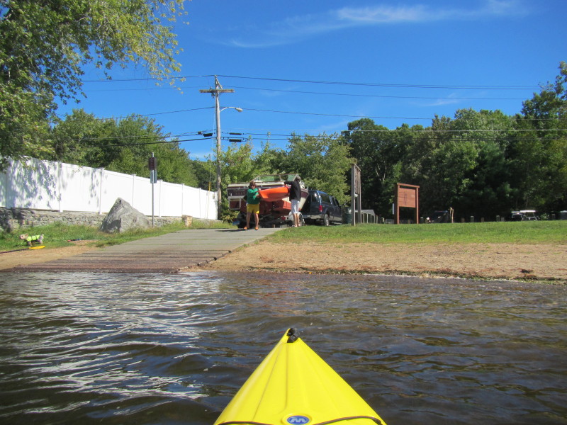 Landed on Webster Lake boat ramp.
Paddle trip was 1 hour and 50 minutes. |