 Kayaker

|


|
Download printer-friendly
PDF version that fits in one page: |

|
|
Other resources:
Connecticut River Paddlers' Trail Paddling.net: Connecticut River Kayak Trip Report North Star Canoe & kayak rentals Connecticut River Joint Commissions: Map 9 In the Shadow of Mt. Ascutney webpage Connecticut River Joint Commissions: Map 9 In the Shadow of Mt. Ascutney map Connecticut River Joint Commissions: Map 9 In the Shadow of Mt. Ascutney map (cached copy) Connecticut River Joint Commissions: Map 10 Weathersfield Bow Region webpage Connecticut River Joint Commissions: Map 10 Weathersfield Bow Region map Connecticut River Joint Commissions: Map 10 Weathersfield Bow Region map (cached copy) VT Govt: Ascutney State Park VT Govt: Wilgus State Park All photos in this website are original and copyrighted. Mt. Ascutney, inspiration for the Cornish colony of artists settling nearby in the last century, drifts in and out of view until you round the bend above the Cornish Windsor Covered Bridge. This is the longest historic wooden covered bridge in the US, and has been replaced four times. Below the railroad bridge is Chase Island, owned by NH Fish & Game Dept. Chase Island is NOT open to public camping. Shallow water usually keeps power boats from traveling upstream of the Ascutney bridge. 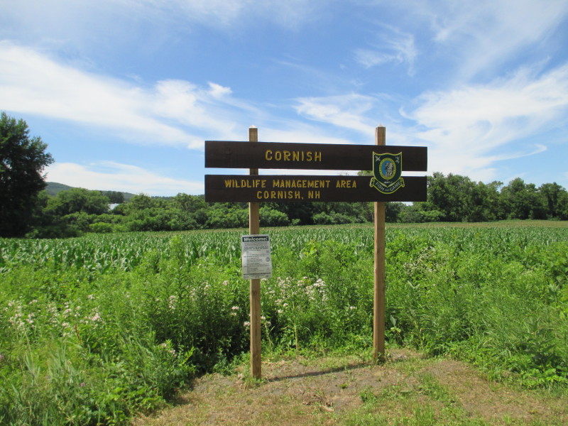 The road marker at the put in to Connecticut River on Route 12A in Cornish NH about half-mile north of the covered bridge.
Pictures taken July 2016. 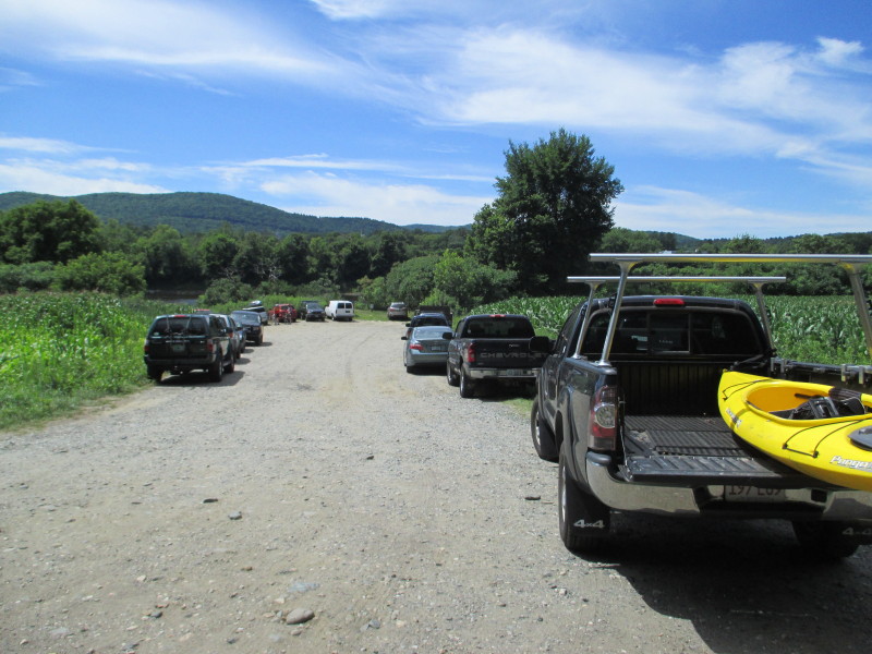 The access area here has enough space to park 10+ cars in the middle of corn fields.
 The path to the put in.
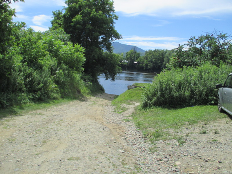
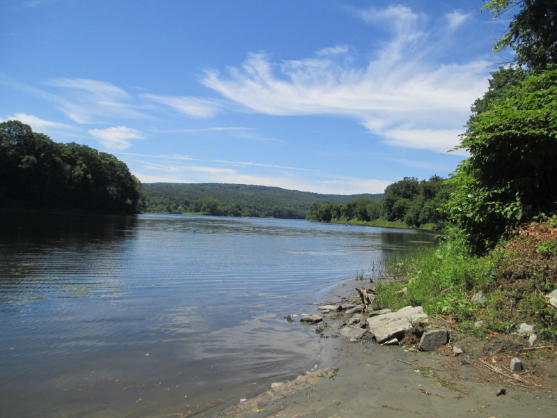
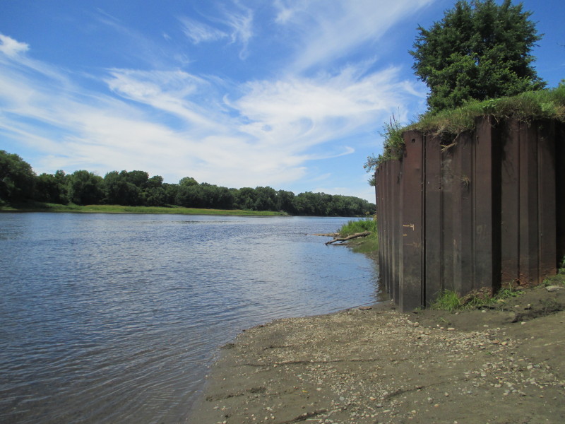 Looking upstrream at the Connecticut River.
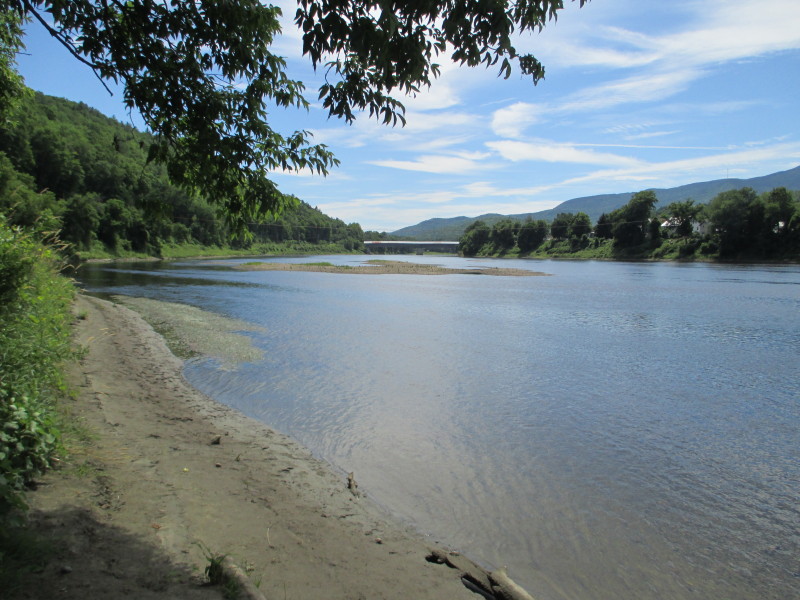 Looking downstream from the put in, the Cornish-Windsor covered bridge.
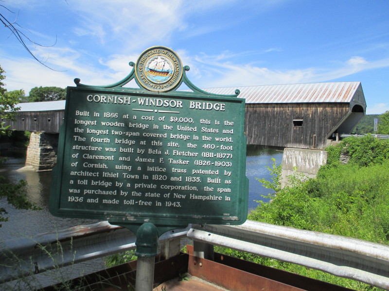 The Cornish-Windsor covered bridge historical marker on Route 12A in Cornish NH.
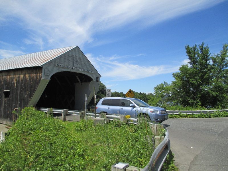
Built in 1866 at a cost of $9,000, this is the longest wooden bridge in the United States and the longest two-span covered bridge in the world. The fourth bridge at this site, the 460-foot structure was built by Bela J. Fletcher (1811-1877) of Claremont and James F. Tasker (1826-1903) of Cornish, using a lattice truss patented by architect Ithiel Town in 1820 and 1835. Built as a toll bridge by a private corporation, the span was purchased by the state of New Hampshire in 1936 and made toll-free in 1943. 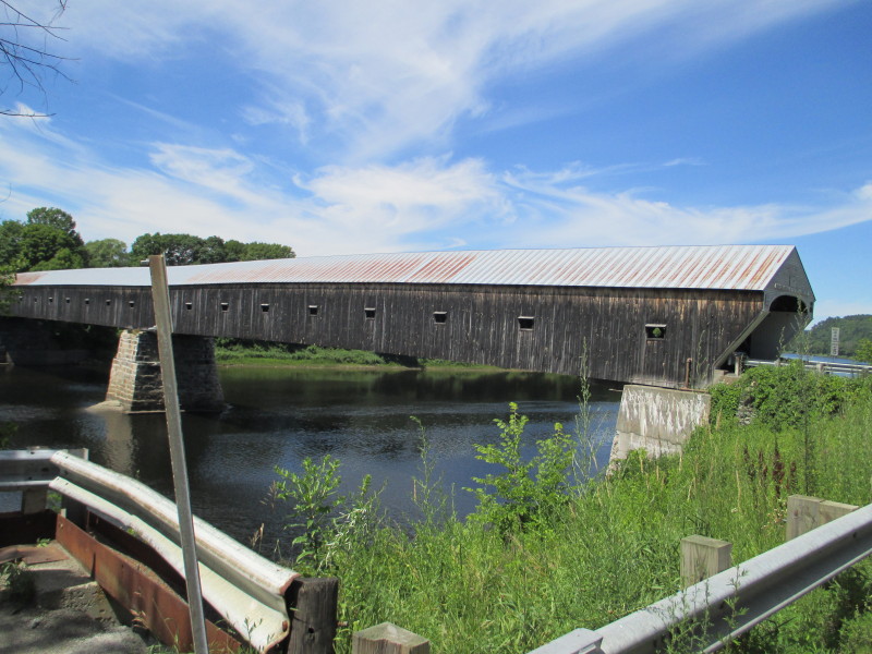 The Cornish-Windsor Covered Bridge viewed from the south-east side.
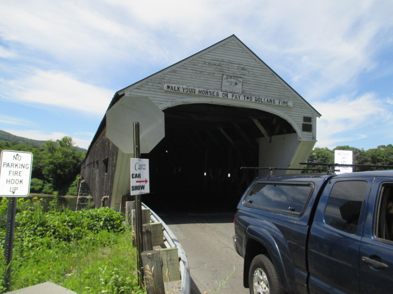 Sign on the Cornish-Windsor Covered bridge:
WALK YOUR HORSES OR PAY 2 DOLLARS FINE
Sign on the Cornish-Windsor Covered bridge:
WALK YOUR HORSES OR PAY 2 DOLLARS FINE
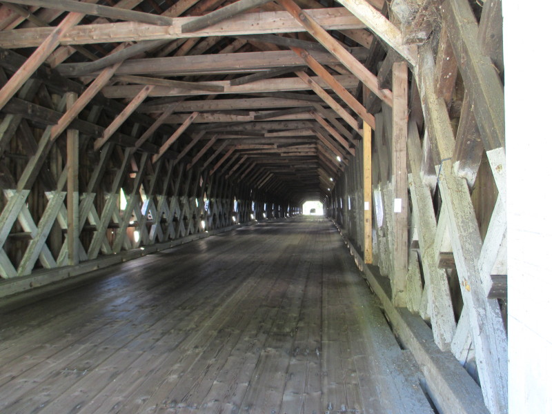 Inside the Cornish-Windsor Covered Bridge.
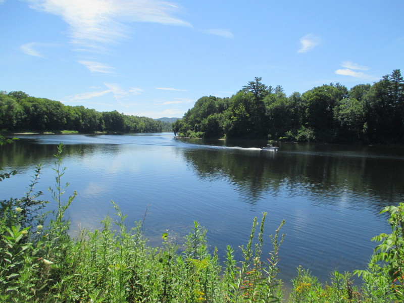
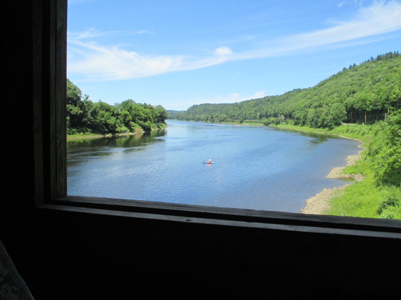 Looking upstream on Connecticut River from the Cornish-Windsor covered bridge.
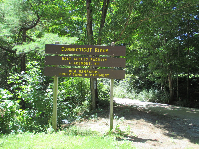 Now at the take out at Ferry Road in Claremont NH.
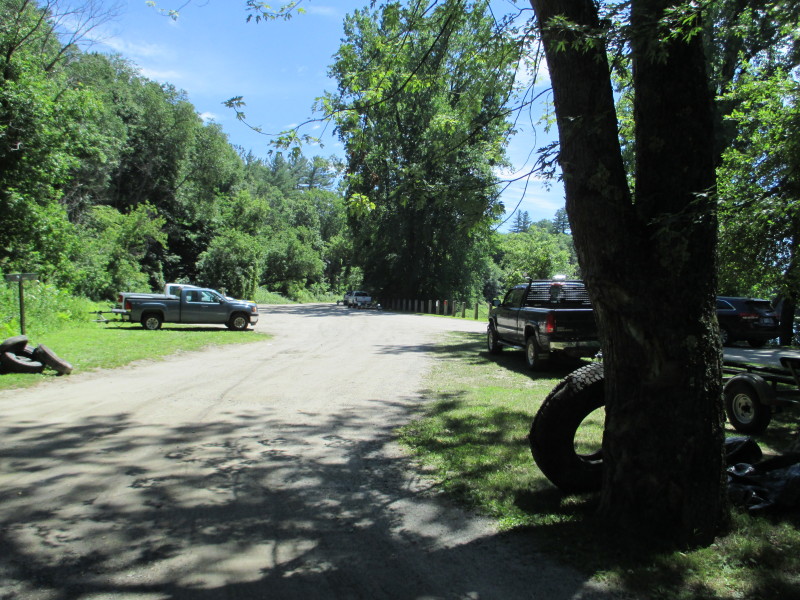 The public access area to Connecticut River at Ferry Road.
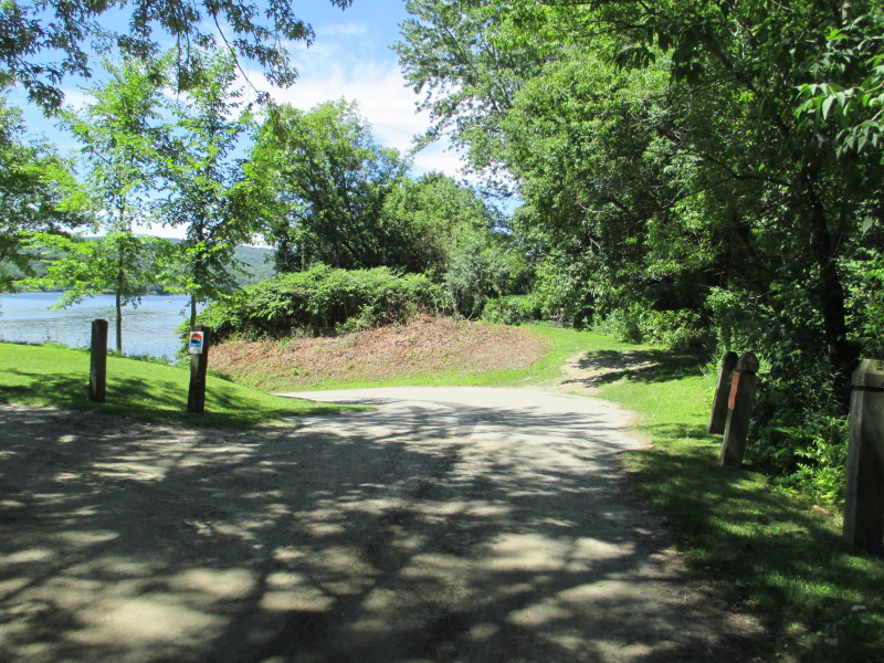
 The take out at Connecticut River at Ferry Road in Claremont NH.
 Looking upstream at Connecticut River from the takeout at Ferry Road in Claremont NH.
 Looking downstream.
|